
Farmington ZIP Code Directory Coverage
The official USPS labeling source groups 87401, 87402, and 87499 under FARMINGTON, NM 87402. That is useful postal-label context, not a map of every delivery route. Census geography adds Farmington-related ZCTA context for 87401, 87402, 87410, and 87415. The two systems answer different questions, so the table keeps each label within its verified meaning.
| ZIP or ZCTA | Areas covered in the source | Post office or source label | Important limit |
|---|---|---|---|
| 87401 | USPS Farmington grouping; a specific address still needs live USPS verification. | FARMINGTON, NM 87402 DMM grouping | Does not define a city boundary, parcel, neighborhood, or universal delivery area. |
| 87402 | USPS Farmington grouping; a specific address still needs live USPS verification. | FARMINGTON, NM 87402 DMM grouping | Does not mean all Farmington agencies or addresses share one postal code. |
| 87499 | USPS Farmington grouping. | FARMINGTON, NM 87402 DMM grouping | Its specific delivery classification was not verified in the research. |
| 87410 | Census ZCTA associated with Farmington city geography in the cited Census context. | Census ZCTA, not a verified post-office assignment | Does not prove an in-city address uses this USPS ZIP code. |
| 87415 | Census ZCTA associated with Farmington city geography in the cited Census context. | Census ZCTA, not a verified post-office assignment | Does not create a city, county, or neighborhood boundary. |
The USPS DMM labeling list supports the Farmington postal grouping. Use the live USPS lookup for the delivery format of an individual address rather than trying to infer it from a broad label.
Farmington ZIP Codes and Census ZCTAs
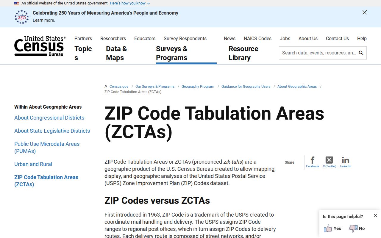
A ZIP Code Tabulation Area, or ZCTA, is Census geography built from census blocks to approximate ZIP service areas. The Census states that ZCTAs are not USPS delivery boundaries and may be noncontiguous, unique, or tied to post-office-related geography. A ZCTA can be useful for statistical context, but it is not a postal promise for a particular Farmington address.
The Census guidance on ZIP Code Tabulation Areas explains the difference between its statistical areas and USPS delivery geography.
Read a Census ZCTA map as a statistical reference. For mail delivery, a city boundary, a tax area, or a parcel, use the source that governs that separate question.
Note: A ZCTA and a USPS ZIP label may look similar, but they are maintained for different purposes and should not be treated as the same boundary.
Search a Farmington ZIP Code Carefully
A postal label can narrow an address research task, but it does not turn the assessor's property database into a ZIP-wide household list. The verified workflow follows the source that owns each fact. It starts with postal standardization and ends with the address, parcel, and legal labels that the public record actually uses.
- Use the live USPS lookup to check the mailing city and ZIP+4 for one complete address.
- Enter the address in EagleWeb's separate situs fields, using City/Zip only as a narrowing field when appropriate.
- Record the returned county account number, parcel number, situs address, legal summary, tax area, and the search date.
- Open the EagleWeb Parcel Map link and compare the county parcel context with City Maps & GIS where municipal jurisdiction may matter.
- Use the appropriate city, county, or clerk record route for the next documented question. Do not overwrite a legal description with a postal formatting preference.
Once a ZIP has narrowed the geography to a particular address or roadway, the Farmington street directory provides the fuller address-to-parcel and recording sequence.
Farmington ZIP Code Searches in EagleWeb
San Juan County EagleWeb is a ZIP-capable public property portal because its situs form includes City/Zip and its help says that field narrows an address search. It is not described by the county as a ZIP-wide directory. A City/Zip-only query may be broad, so add street components, an account number, or a parcel number whenever those are known. Assessment values remain assessment values, not market conclusions.
| EagleWeb field | Role in ZIP research | What it does not determine |
|---|---|---|
| City/Zip | Narrows a structured situs-address result. | Municipal limits, postal delivery, tax district, or a neighborhood. |
| House Number, Street Name, and Designation | Refine the address within the postal context. | A current occupant or a recorded title conclusion. |
| Unit Number and directional fields | Preserve the form used for a precise address query. | That a different mailing format is wrong. |
| Account Number and Parcel Number | Connect a known result back to county assessment and map context. | A complete chain of title or service-area assignment. |
| Tax Area and legal description | Identify distinct assessment and land labels on the account. | A postal label, city boundary, or delivery route. |
The official EagleWeb help says a street name is the starting point for a situs search and that City/Zip can narrow the result. Preserve the form's individual field values rather than replacing them with a single free-text postal label.
Farmington Postal Labels and City Limits
A Farmington mailing line is not proof that an address sits inside City of Farmington limits. The place may be served by city, county, tribal, federal, or other jurisdiction. San Juan County Rural Addressing handles physical addressing in unincorporated county territory, while Farmington city departments hold municipal records. The county also states that its rural-addressing scope excludes the Navajo Nation reservation.
Use the county parcel context and city maps to identify the responsible office. The city warns that its maps are not legal surveys or title proof, so an exact boundary or land-right question needs the recorded plat, survey, legal description, or professional review. Postal routing is simply not a substitute for those sources.
That separation matters when a record request is needed. A city department may be the custodian for a municipal file, while County Rural Addressing or Community Development may hold an unincorporated-area record. The postal city line only helps format mail. It does not decide which office controls a roadway, permit, address change, or parcel-related administrative record.
- ZIP code
- A USPS mail-routing label used to help sort and deliver mail. It does not set a city boundary or parcel line.
- ZIP+4
- An added delivery detail for a specific mailing address. Use the live USPS lookup to validate it for that address.
- PO-box ZIP
- A postal label associated with post-office-box service. The research did not verify 87499 as a particular box range or service type.
- Unique ZIP
- A ZIP associated with a special postal arrangement, such as an institution. No Farmington unique ZIP assignment was verified in the research.
- Carrier route
- A postal delivery grouping. It is not the same as a parcel, city district, or Census ZCTA.
Farmington ZIP Code Directory Map Limits
No current official ZIP-boundary layer was verified in the Farmington city maps page or the County Parcel Viewer during this research. That is a meaningful limit, not an invitation to draw a ZIP polygon from an unverified web map. Use USPS for address delivery, Census ZCTAs for statistical geography, and county or city sources for the administrative geography they actually maintain.
The City of Farmington Maps & GIS page is a municipal mapping entry point and includes the city's map-use caution.
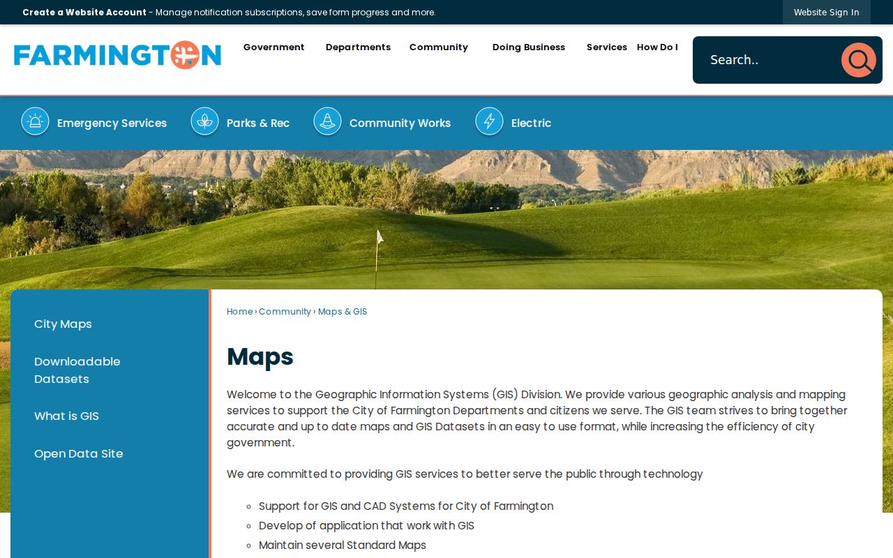
City mapping can place an address in municipal context, but it does not convert a postal label into a survey, title finding, or confirmed ZIP boundary. Retain the source date whenever a map is used with a parcel record.
Note: Administrative maps, postal labels, and Census areas each have value, but none should be presented as an exact replacement for the others.
Farmington Postal Labels in Historic Research
Modern ZIP codes should not be applied backward to an early map, deed, directory, or newspaper reference. Farmington's original 1879 plat and its documented street-grid jogs require date-aware address matching. The November 1908 Farmington Sanborn map is a one-sheet view of part of the historic built environment, not a current postal or parcel map.
When a historical source gives a street or block, preserve the original spelling, source date, and map scale. Compare that information with a current parcel record only after establishing a supported crosswalk. The absence of a verified citywide street-name-change index means an apparent match should remain tentative until a dated map, plat, ordinance, or agency record confirms it. Historic newspapers and library or historical-society inquiries can supply dated place-name leads, but they do not turn an older mailing description into a current postal assignment.
Farmington Parcel and Postal Labels
An EagleWeb account can display a situs address, owner mailing address, tax area, legal summary, account number, parcel number, and assessment values. These are separate labels. A postal-label refinement cannot identify a tax district, recorded subdivision, school district, voting precinct, city boundary, or public-safety service area. The right description is the one the responsible source actually supplies.
For a recorded-document question, use the parcel and legal-description context to reach the San Juan County Clerk Recording Department. The county identifies its online route as grantor/grantee index access and asks for a book/page or document number for copies. Its source page did not provide a verified index coverage-start date, so no coverage year should be assumed from a ZIP search.
Respect source limits. A postal or property record can support a defined address question, not a composite profile of people. Do not seek to infer protected addresses or use any record lead to stalk, harass, intimidate, or harm someone.